Water surfaces and floods, seen by radar.
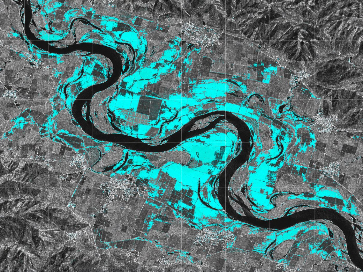
Sentinel-1 radar sees water through cloud and at night. BASIN compares each 10 m cell with its usual state and flags new water (possible flooding) and shrinking water.
How it measures
Water, even under cloud and at night.
Radar sends out microwaves and records what comes back. Calm water reflects almost nothing back, so it looks dark. BASIN uses this contrast to separate water from land and compares it with the usual water extent at the same place.
- Sentinel-1 GRD radar images (VV polarisation)
- Lee filter to reduce speckle, then threshold to split water and land
- Comparison with the historical median to flag new and lost water
- 10 m cells, updated every 6 to 12 days
Output
Three states on one map.
Each cell is coloured by how it compares with its usual state, so you can see at once where water has grown or shrunk.
Permanent water
Areas that are normally under water: the basic outline of lakes and rivers.
New water (possible flooding)
Water where there is normally none. Used to check flood extent after heavy rain.
Dry cells
Areas with less water than usual, such as lake beds exposed by drought or low levels.
Specification
Data, method and output
| Item | Detail |
|---|---|
| Data | Sentinel-1 GRD (VV) |
| Processing | Lee filter + threshold, compared with historical median |
| Resolution & revisit | 10 m, every 6 to 12 days (any weather, day or night) |
| Output | Permanent water, new water (possible flooding) and dry-cell map |
FAQ
Frequently asked questions
Why use radar?
Optical satellites cannot see the ground through cloud or at night. Heavy rain usually comes with cloud, so checking flood extent needs radar, which sees through it.
How does this relate to algal bloom monitoring?
The daily water mask from radar is the base for other features. Bloom spread paths, for example, are calculated only inside this water surface.
How accurate is it?
In a pilot we plan to verify water detection against water levels and field records, with a target of at least 90% accuracy. Current results come from our own pilot water bodies.
Related pages
Work with us
Start with a satellite screening of your water.
We screen your reservoirs and intakes from public satellite data first, then compare the results with your own field measurements. No equipment needs to be installed.