Algal bloom concentration, read from space.
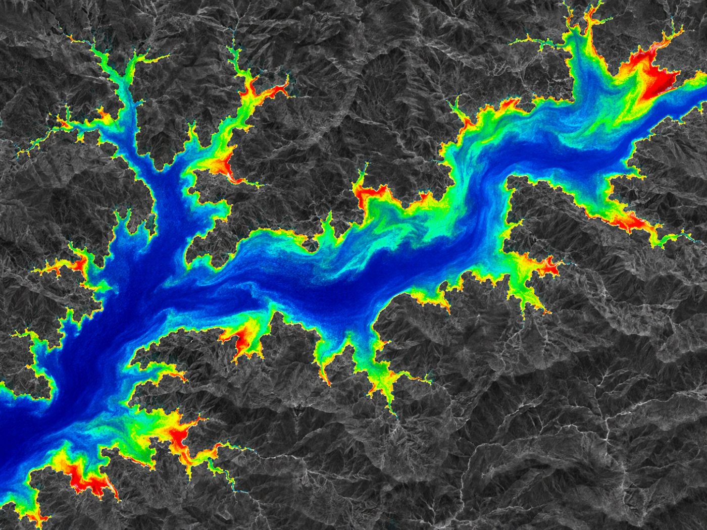
BASIN estimates chlorophyll-a from the red-edge light in Sentinel-2 images and maps bloom concentration across the whole water body in four levels for every 10 m cell.
How it measures
Small shifts in water colour reveal concentration.
As algae increase, chlorophyll changes how water reflects light at the edge of red (the red edge). BASIN turns this difference into an index (NDCI) and estimates chlorophyll-a concentration.
- Sentinel-2 L2A (atmospherically corrected) images
- Chlorophyll-a estimated with the red-edge NDCI
- 10 m cells, about every 5 days
- Trend across scenes: rising or falling
Four levels
Every cell, one of four levels.
Concentration is grouped into levels with the same names operators already use. Official algae alerts are still issued from field sampling.
Clear
Little or no bloom signal.
Watch
Concentration starting to rise. Keep an eye on the trend.
Alert
High concentration. Field checks and preparation are advised.
Bloom
Very high concentration over a wide area. Check on site now.
Specification
Data, method and output
| Item | Detail |
|---|---|
| Data | Sentinel-2 L2A |
| Method | Red-edge (NDCI) chlorophyll-a estimate |
| Resolution & revisit | 10 m, about every 5 days |
| Output | Four-level map (clear, watch, alert, bloom), trend by scene |
FAQ
Frequently asked questions
What happens on cloudy days?
Optical satellites cannot read water under cloud, so those scenes are skipped. BASIN keeps watching with radar, which is not affected by cloud, and with the five bloom drivers and weather forecasts.
Does it replace official algae alerts?
No. Official alerts are based on cyanobacteria cell counts from field sampling. BASIN is a screening tool that shows where to sample and look first, across the whole water body.
Is chlorophyll-a the same as cyanobacteria?
No. Chlorophyll-a indicates the total amount of phytoplankton in the water; cyanobacteria are the group that cause most harmful blooms. BASIN screens widely with chlorophyll-a and makes detailed calls together with field measurements.
Related pages
Work with us
Start with a satellite screening of your water.
We screen your reservoirs and intakes from public satellite data first, then compare the results with your own field measurements. No equipment needs to be installed.