From orbit to the water intake.
Register a water body; satellites look wide first, AI forecasts days ahead, and field checks and measurement comparisons close the loop.
Four steps
From registration to field check, in four steps.
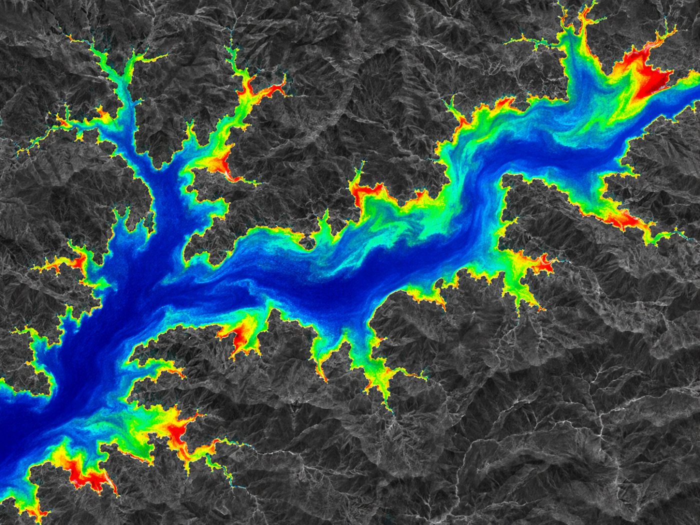
Register
Draw the lakes, river reaches and intakes to watch. The first analysis of one water body takes 1 to 2 minutes.
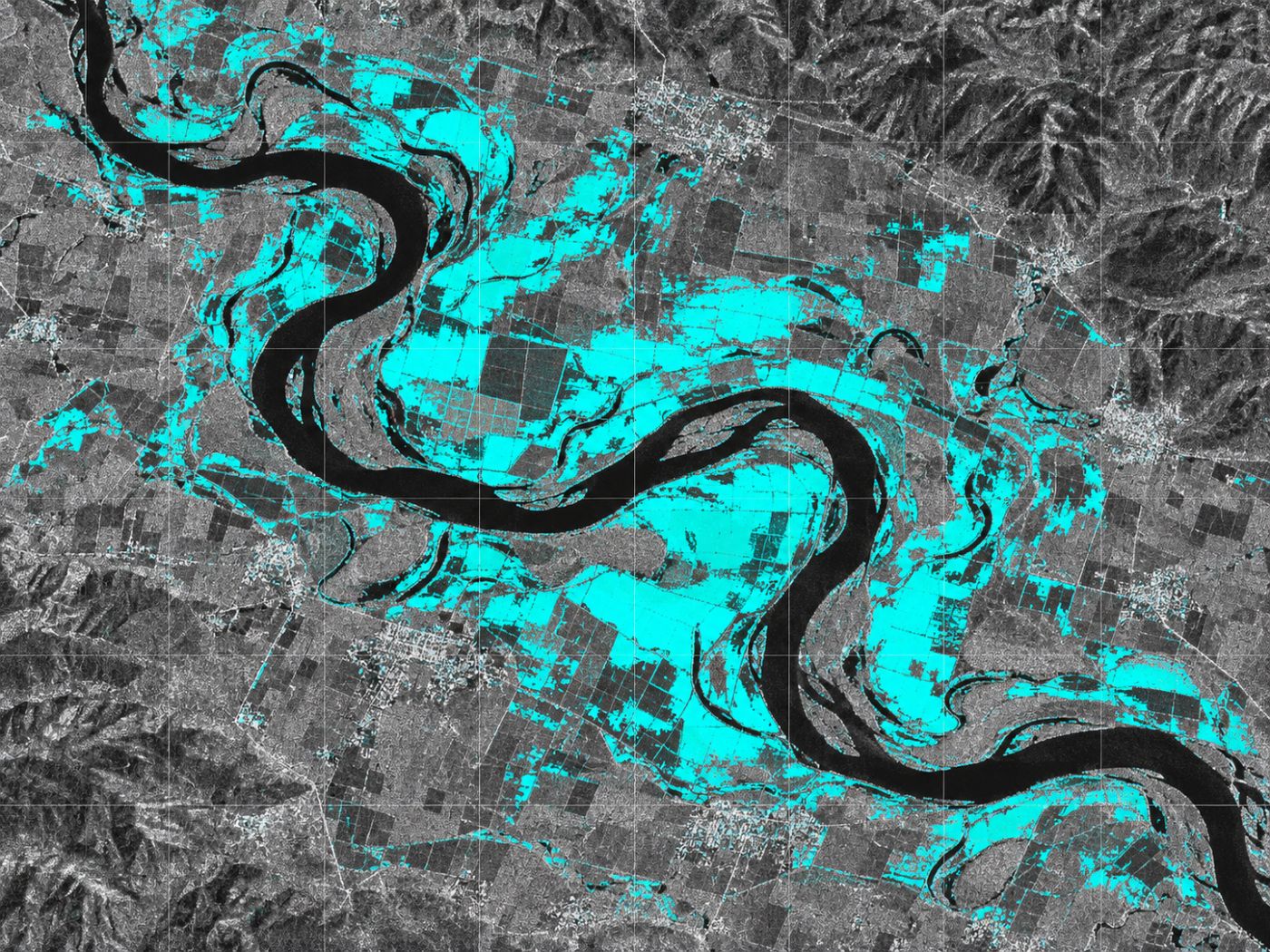
Measure from space
Radar for water surface, optical for bloom concentration, and surface temperature, measurements, weather and flow for the five drivers.
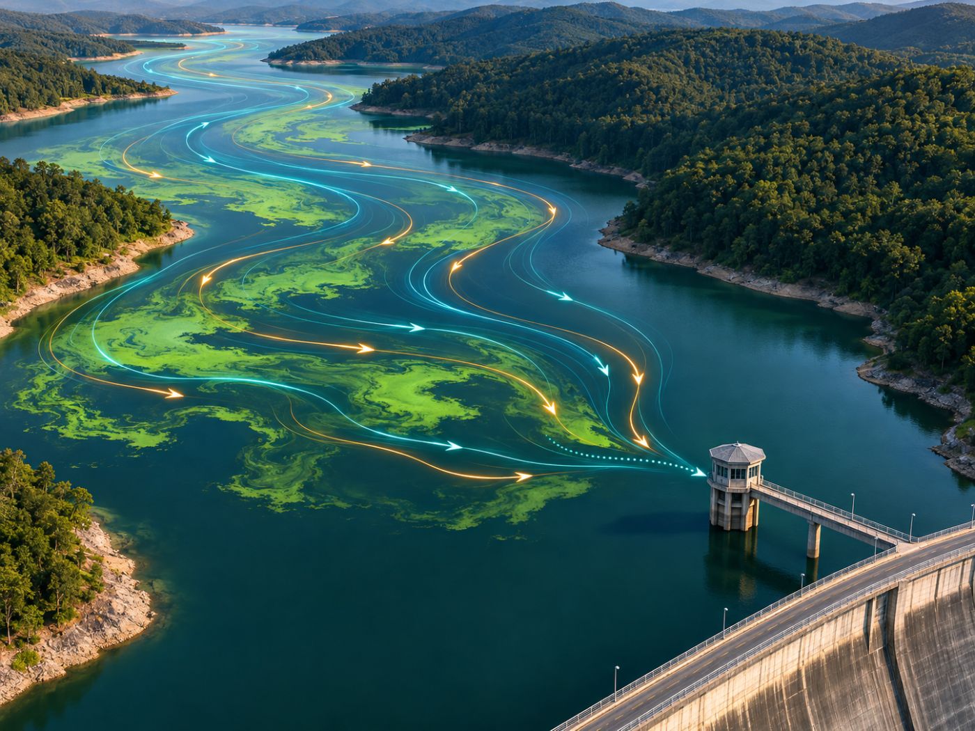
Forecast & alert
Alert levels 3–7 days ahead, D+1 to D+7 spread paths with intake arrival dates, and 7/14/30-day grid forecasts.
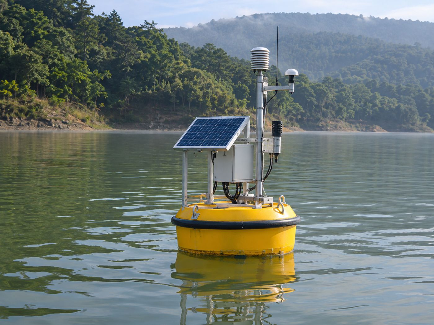
Check & validate
Confirm on site with measurements, sampling and CCTV, and recalculate accuracy automatically against public data.
Two stages
Find it wide first, then decide precisely on site.
Wide-area screening (SaaS) and on-site verification can be used separately or together, in both directions.
Wide-area screening (SaaS)
Satellite, weather and river data find risky water bodies and intakes first, with the same standard everywhere and no equipment.
On-site verification
Field measurements, sampling and CCTV, combined with satellite and upstream context, decide when to act. It reuses the video and sensor AI monitoring we already run at industrial sites.
From satellite to site
Candidate areas found from space are checked on site first.
From site to satellite
When a station or CCTV shows an unusual value, satellite, upstream and flow context is pulled up to find the cause.
Data we use
Free public satellites and public data.
FAQ
Frequently asked questions
How often do results change?
Results are recalculated when new scenes arrive: bloom concentration about every 5 days, radar water surface every 6 to 12 days, and the five drivers and alerts daily.
Can I use only on-site verification?
Yes. Wide-area screening and on-site verification can be bought separately or together.
How do I receive results?
Maps, alerts, status tables and validation tables in the browser. An API to connect with your own systems is agreed during a pilot.
Work with us
Start with a satellite screening of your water.
We screen your reservoirs and intakes from public satellite data first, then compare the results with your own field measurements. No equipment needs to be installed.