Forecasts 7, 14 and 30 days ahead, cell by cell.
BASIN feeds two years of satellite time series and the five bloom drivers into Google’s TimesFM foundation model to forecast concentration ranges and bloom probability on a 100 to 500 m grid.
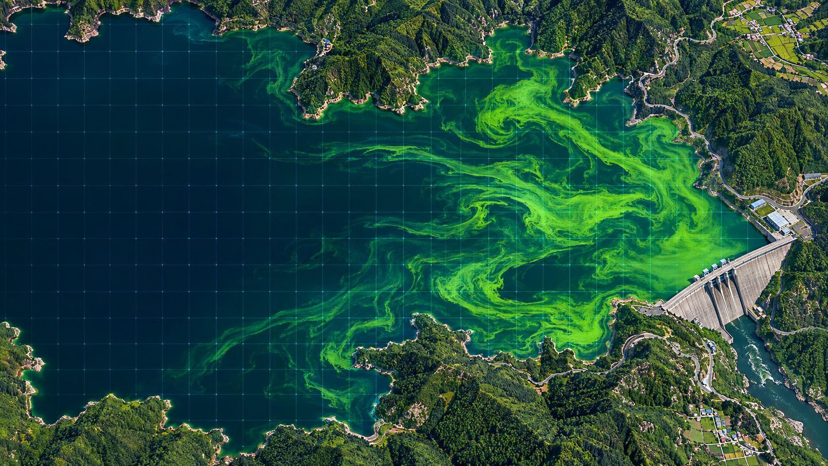
Grid forecasts
Not the lake average, but where it rises first.
Blooms do not grow evenly across a lake. Inflows and bends often rise first. BASIN forecasts each grid cell separately, so you can see which intake side will be at risk first.
- Horizons of 7, 14 and 30 days
- 100 to 500 m grid
- Concentration range (p10 to p90) and bloom probability
- Expected first “watch” date per cell
Reading it
A range, not a single number.
Every forecast carries uncertainty. Instead of one value, BASIN shows the range from a low case (p10) to a high case (p90), leaving room for judgement.
Concentration range
Future chlorophyll levels shown as a p10 to p90 range.
Bloom probability
The chance of exceeding the threshold, cell by cell.
First “watch” date
The day each cell is expected to first reach the watch level.
Specification
Data, method and output
| Item | Detail |
|---|---|
| Model | Google TimesFM foundation model |
| Inputs | Two years of satellite time series + five drivers as covariates |
| Horizon & grid | 7, 14 and 30 days; 100 to 500 m grid |
| Output | Concentration range (p10 to p90), bloom probability, first “watch” date |
FAQ
Frequently asked questions
What is TimesFM?
A time-series foundation model released by Google and pre-trained on a large number of time series. BASIN adds two years of satellite time series and the five bloom drivers.
How is it different from early warning?
Early warning uses the five-driver growth model to give alert levels 3 to 7 days ahead every day. The AI forecast gives concentration ranges 7, 14 and 30 days ahead for each grid cell, for longer planning.
How do I know when it is wrong?
Automatic validation compares results with field measurements and shows errors and hit rates on screen.
Related pages
Work with us
Start with a satellite screening of your water.
We screen your reservoirs and intakes from public satellite data first, then compare the results with your own field measurements. No equipment needs to be installed.