The whole reservoir, every day, to the same standard.
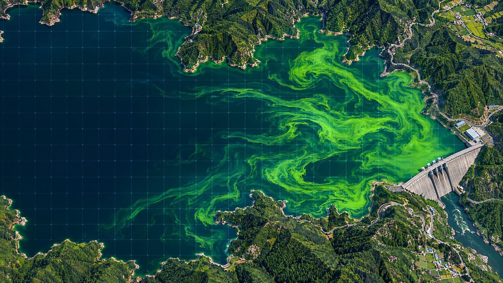
See from space where a bloom rises first across a large dam lake and how it changes when releases change, then decide when to act.
The challenge
The lake is large; monitoring points are few.
Automatic stations and sampling give results only for fixed points and days. Blooms rise in between and move with wind and flow.
Sparse sampling
Sampling points and dates are few, so a bloom that spreads in days can be missed.
Point-only stations
Stations measure the water where they are installed. Bends and inflows stay blank.
Late response
Changing intake depth or placing booms takes preparation. Finding out late leaves fewer options.
With BASIN
Every cell of the lake, days ahead.
BASIN maps bloom concentration across the whole lake in four levels for every 10 m cell and issues alerts 3 to 7 days ahead from the five drivers and weather forecasts. When releases change, residence time changes and the alerts follow.
- Four-level bloom map of the whole lake (about every 5 days)
- Daily status of temperature, N, P, sunlight and residence time
- Alert levels 3–7 days ahead with recommended actions
- D+1 to D+7 spread paths and main direction
In practice
Results you can act on.
Each alert level carries recommended actions that follow the dam’s bloom response procedures.
Intake depth
Choose a depth that avoids the dense surface layer in advance.
Water circulators
Decide when and where to run mixing equipment.
Algae booms
Use the spread direction to place booms at the right time.
FAQ
Frequently asked questions
Can release data be connected?
Yes. In a pilot we connect water level and release data and use them to calculate residence time. The method is agreed with the operator.
How many dams can be watched?
A single server can watch dozens of water bodies at once, all to the same standard.
Does it overlap with our stations?
It complements them. Stations give precise point values; BASIN covers the wide area between them and the days ahead. Station data are also used to validate and correct BASIN.
Related pages
Work with us
Start with a satellite screening of your water.
We screen your reservoirs and intakes from public satellite data first, then compare the results with your own field measurements. No equipment needs to be installed.