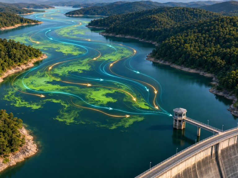
Algae alert schemes, and where satellite screening fits in
If you are responsible for blooms at a drinking water source, the first thing to map satellite screening onto is your algae alert scheme.
In summer, a water source manager’s day revolves around waiting for sampling results. When results cross a threshold, an alert goes out and changes to intake and treatment begin all at once.
This sequence is accurate but always one step behind. While samples are taken, analysed and reported, the bloom keeps moving with wind and flow.
Below we explain how an algae alert scheme works, where the gaps are, what changes when satellite screening comes first, and how BASIN presents its results. If you are revising your bloom-season procedures, read on.
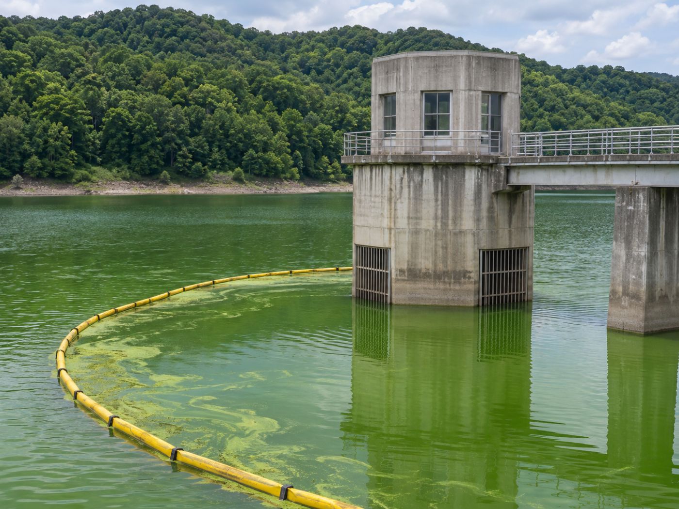
Category: Intakes & alerts
An algae alert is issued from cyanobacteria counts in field samples
Algae alert schemes announce bloom levels for drinking water sources and recreational waters. Water is sampled at fixed points, cyanobacteria cells are counted, and an alert is issued when counts cross the threshold for each level.
In Korea the levels rise from watch to alert to bloom, and the alert is lifted when counts fall below the threshold. Higher levels mean more frequent sampling, stronger treatment and intake measures, and more public notices.
Results and current alerts by site are public in the Water Environment Information System. Thresholds and procedures can change, so operations always follow the latest official notices. Other countries run similar schemes; the US EPA publishes guidance on harmful algal blooms.
What changes as alert levels rise
Blooms start to grow; sampling and monitoring increase.
Treatment is strengthened and intake measures prepared.
Intake changes and treatment are pushed to the maximum.
Below the threshold, normal operation resumes.
Blooms move first, between sampling points and days
Sampling means people taking a boat to fixed points, so the number of points and visits is limited. A few points on a large lake can hardly represent the whole water body.
Blooms thicken first in particular places: inflows, bends and shores where wind piles them up. If those are not sampling points, the alert only moves once the bloom reaches a point.
Analysis takes time as well. Moving samples to the lab, counting cells and reporting can take a day or two, and changes in between show up only at the next sampling.
Putting satellite screening in front speeds up sampling and response
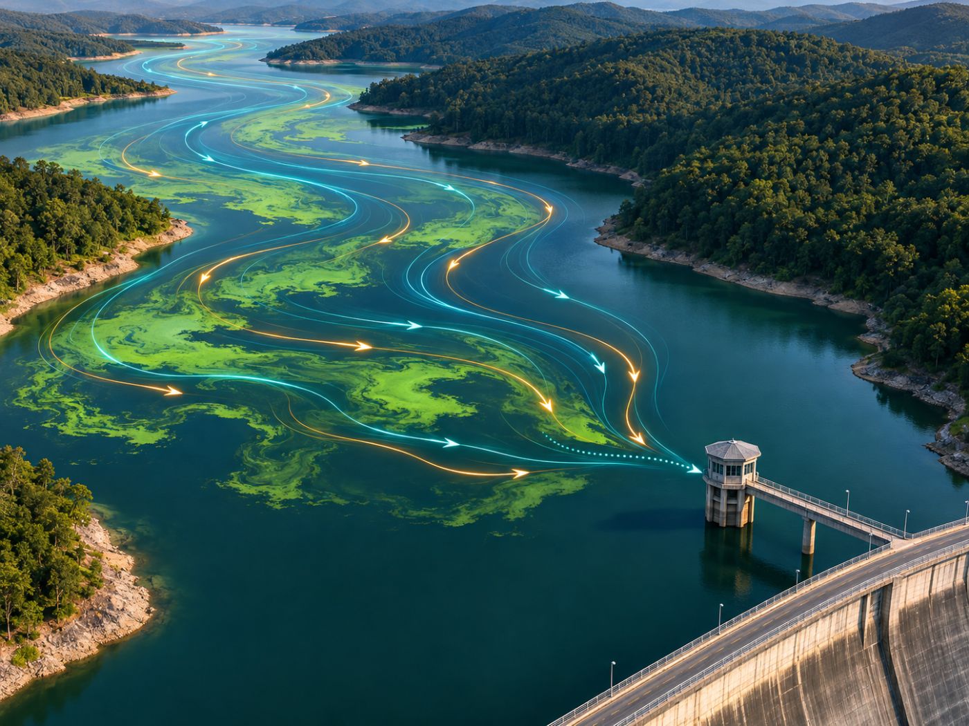
Satellites see the whole water body to one standard. When you can see where blooms thicken first, you can sample there first and focus patrols where they are needed.
Satellites do not replace the alert; official decisions still come from sampling. Their role is to bring forward where and when those decisions are needed.
Seeing days ahead helps even more. If you can see the day a bloom will reach the alert level, intake depth changes and algae booms can be put in place before it arrives.
BASIN uses the same words as the alert levels
BASIN groups satellite-estimated chlorophyll-a into four levels: clear, watch, alert and bloom. Matching the level names operators already use means a map immediately suggests what to prepare.
It also calculates temperature, nitrogen, phosphorus, sunlight and residence time for each water body to show the reasons behind an alert, and issues alert levels and recommended actions 3 to 7 days ahead every day.
These levels are for satellite screening, not official alerts. In a pilot we refine levels and recommended actions together with the operator’s own procedures and thresholds.
That covers how algae alert schemes work, their gaps and where satellite screening fits; BASIN’s alerts are described on the early warning and spread page.
Frequently asked questions
Can satellite results trigger an official alert?
No. Official alerts come from field sampling. Satellite results help decide where to sample and prepare first.
Does it work for recreational waters?
Yes. Register them as water bodies and the same bloom maps and alerts are available.
Do we have to change our sampling plan?
No. Keep your scheduled sampling and start by also checking the places the satellite shows thickening first.
Want to see your reservoir or intake from above first?
We can start with a satellite screening of your water bodies and compare it with your own field records.
Discuss a pilot →Edited and answered by the MomentCube BASIN team / james@momentcube.com · +82-32-212-1011